Docs
Charts Are Not Only for Looking: They Participate in Judgment
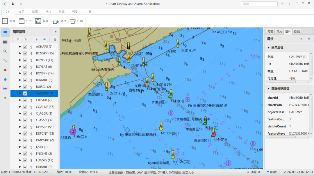
Chart display is only the start. This article explains how chart data, live positioning, risk warning, and route planning work together to support navigation decisions.
Many people think of a chart as a way to see a position. In real navigation, however, knowing the position is not enough: where the vessel is, what lies ahead, whether it has left the planned route, and whether shoals or hazardous areas are nearby all need to be judged together.
First, read the chart clearly
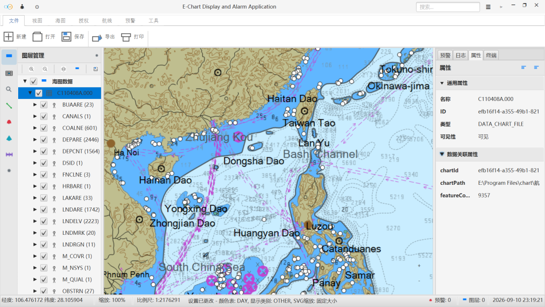
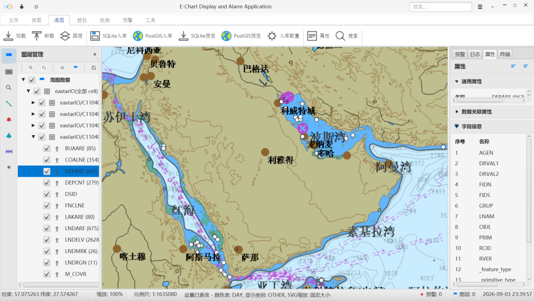
Eastar Map supports international chart formats such as S-57, S-63, and S-10X, presenting a clear, stable, and trustworthy navigation base map. A stable base map is the foundation for positioning, warning, and route judgment.
Then connect the navigation state
Navigation is not a static picture. Position changes, tracks extend, and the planned route may diverge from the actual one. Eastar Map uses live navigation data to keep position and track updated, so the current position, historical path, and navigation status stay traceable.
Surface risks earlier
Risk warning is an important part of the system. The risks noted on the product page include shoals, obstructions, off-course situations, and approaches to hazardous areas. These reminders are not meant to replace crew judgment; they bring easily missed information forward so users can spot problems faster.
Route planning considers more factors
Whether a route is suitable is not only a question of distance. Speed, tide, weather, and navigation restrictions all affect the decision. Eastar Map includes these factors in route suggestions to give users smoother and more reliable navigation references.
Continue Reading
东星海图 · Eastar Map
Stars above. Seas ahead.