Docs
Six Navigation Scenarios That All Need Clearer Risk Prompts
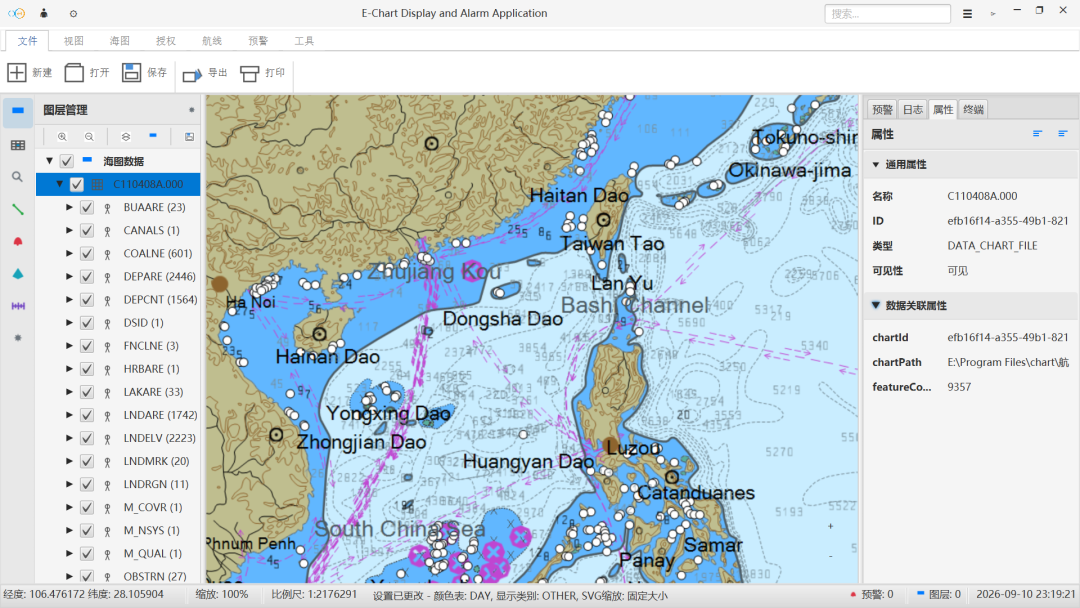
Ocean shipping, coastal fishing, inland waterways, port operations, and maritime supervision differ in detail but share one need: seeing risk earlier and keeping the route controllable.
Navigation scenarios vary, but the common ground is not complicated. Whether it is ocean shipping, coastal fishing, inland waterways, or port operations, users need to see the environment clearly, identify risks, and keep the route controllable. Eastar Map organizes these needs into multi-scenario navigation warning solutions.
Ocean shipping: continuity
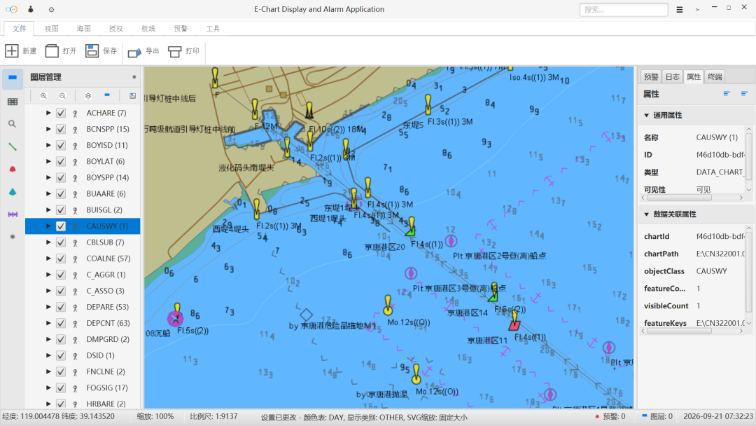
On long voyages, fleets need continuous visibility of the planned route, current position, hazardous areas, and route deviation. Eastar Map brings electronic chart display, route planning, live positioning, and off-course warning together, reducing fragmented information en route so watchkeepers spot deviation, shoals, and approaches to hazardous areas faster.
Coastal fishing: complex waters
Coastal operations frequently switch between port, fishing grounds, and return routes, while shoals, aquaculture areas, fairway boundaries, and weather changes add judgment pressure. With chart base maps, frequently used routes, vessel tracks, and risk reminders, crews keep a clearer picture.
Inland waterways: navigation conditions
Inland vessels must consider channel width, bends, bridge areas, shallow sections, crossing traffic, and temporary navigation restrictions. When the wheelhouse and the dispatcher see different information, communication cost rises; waterway layers, planned routes, live position, and key-point reminders make the route and risk points more direct.
Port areas and supervision: local risks
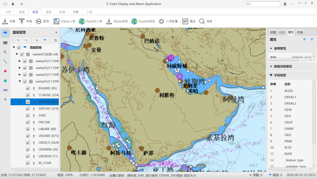
Short-haul port transport and berthing run on tight rhythms and are affected by berths, channels, surrounding vessels, and low-speed maneuvering risk, while maritime supervision needs a direct view of the navigation situation. All of these scenarios need scattered information gathered into one clearer view.
Continue Reading
东星海图 · Eastar Map
Stars above. Seas ahead.