
Docs
Warning Capability Notes
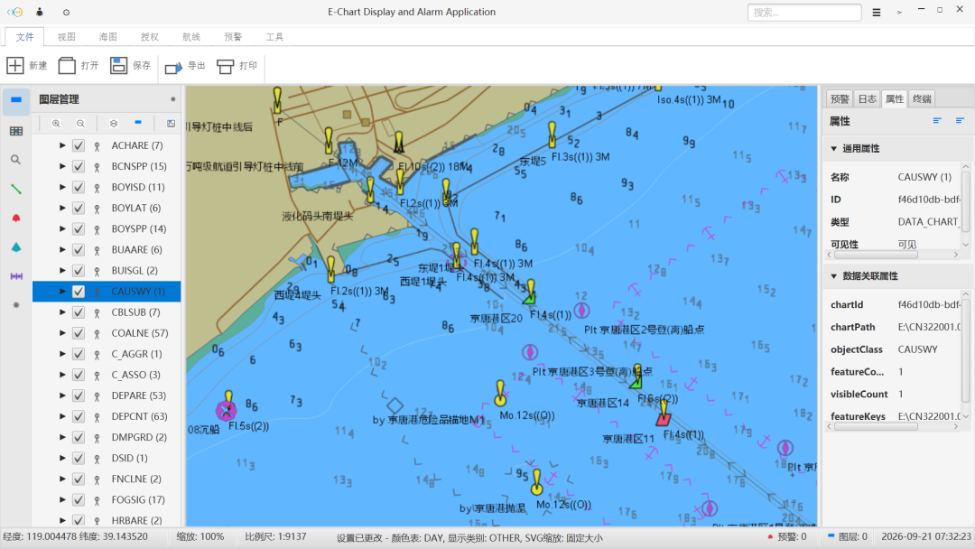
Outlines trigger basis, alert levels, and configurable options for shoal, obstruction, off-course, speed-limit, prohibited-area, and bridge-clearance warnings.
Warning capability moves risk assessment ahead of the decision point: when a vessel approaches a hazard or drifts from the planned route, the system presents a readable alert instead of waiting for the operator to notice it.
Warning types and trigger basis
| Warning type | Trigger basis | Presentation |
|---|---|---|
| Shoals and shallow water | Comparison of chart depth features with vessel draft | Layer highlight with depth values |
| Obstructions | Positions of wrecks, rocks, and other obstacles | Layer annotation with key notes |
| Off-course | Lateral deviation between planned route and live position | Deviation note with track trace |
| Speed-limit and prohibited areas | Navigation rule areas and temporary notices | Area shading with entry reminder |
| Bridge clearance | Clearance height, water level, and vessel air draft | Graded alerts before approach |
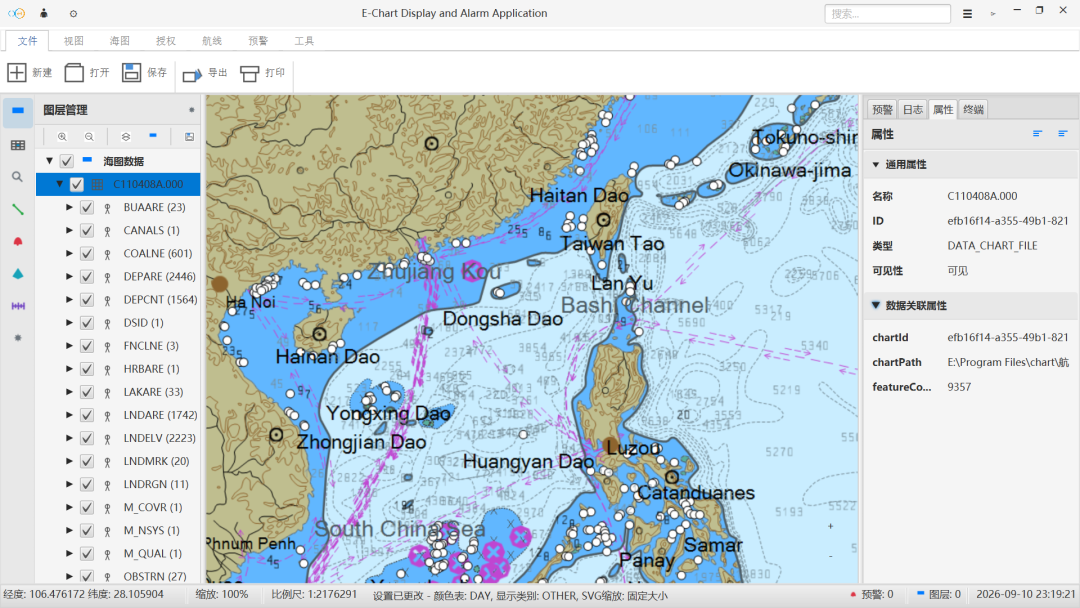
Alert levels
- Informational: annotation and logging only, without interrupting the current operation.
- Caution: layer highlight with text description to draw attention.
- Alarm: sound or prominent prompt requiring human acknowledgement to continue.
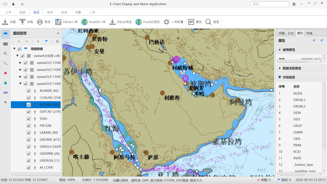
Configurable options
- Warning switches: enable or disable specific warnings by vessel type and water area.
- Trigger thresholds: values such as under-keel clearance, off-course distance, and approach distance.
- Presentation: combinations of text, shading, sound, and acknowledgement method.
Warning information is a navigation aid only. It does not replace professional judgment or statutory navigation responsibilities.
Continue Reading
东星海图 · Eastar Map
Stars above. Seas ahead.