Docs
Eastar Map: Safer Navigation on Every Voyage
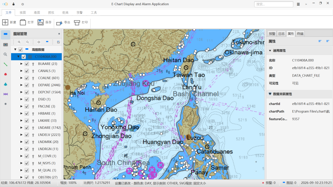
From brand positioning to applicable scenarios, this article explains how Eastar Map supports navigation through chart display, live positioning, risk warning, and route planning.
Navigation is not simply moving from one place to another. A vessel needs a clear chart, an accurate position, risks found early, and a route that stays controllable. Eastar Map works on exactly these problems.
What we focus on
Eastar Map focuses on electronic marine chart display and navigation warning systems for shipping, maritime, fishing, and yacht scenarios, providing reliable, clear, and easy-to-use chart navigation and risk warning solutions. The goal is not to make navigation more complex, but to organize complex chart information and navigation data into something easier to judge.
Why “Stars above. Seas ahead.”
Stars represent direction and the sea represents the journey. Navigation truly needs a steady sense of direction and reliable protection rather than flashy features. The brand keywords of Eastar Map are safety, simplicity, efficiency, and reach.
- Safety: seeing risks earlier.
- Simplicity: reducing repeated judgment.
- Efficiency: making routes clearer.
- Reach: giving long-term voyages more confidence.
Where the product starts
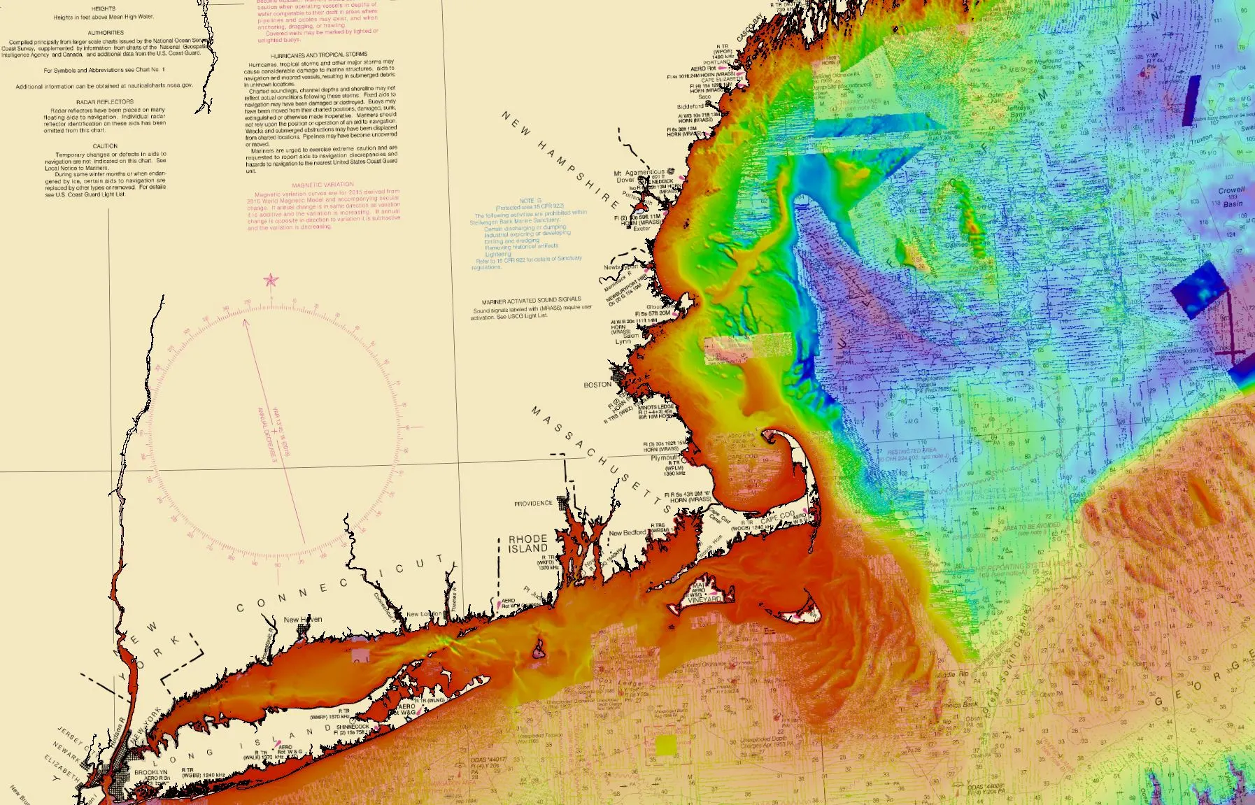
Eastar Map starts from electronic chart display. On a chart, users need to see water depths, fairways, obstructions, and hazardous areas, and they also need to know where the vessel is and where it will pass next. The system therefore does more than display charts: live positioning, track recording, risk reminders, and route planning are presented together.
Which scenarios it fits
Ocean shipping, coastal fishing, inland waterways, port operations, maritime supervision, and yacht cruising differ in detail, but their concerns are close.
- See the navigation environment clearly
- Know the current position
- Identify risks earlier
- Reduce fragmented information
Continue Reading
东星海图 · Eastar Map
Stars above. Seas ahead.